


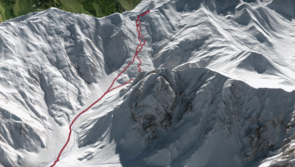
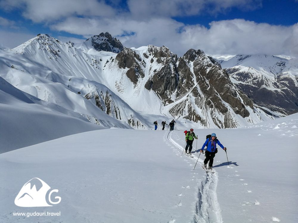
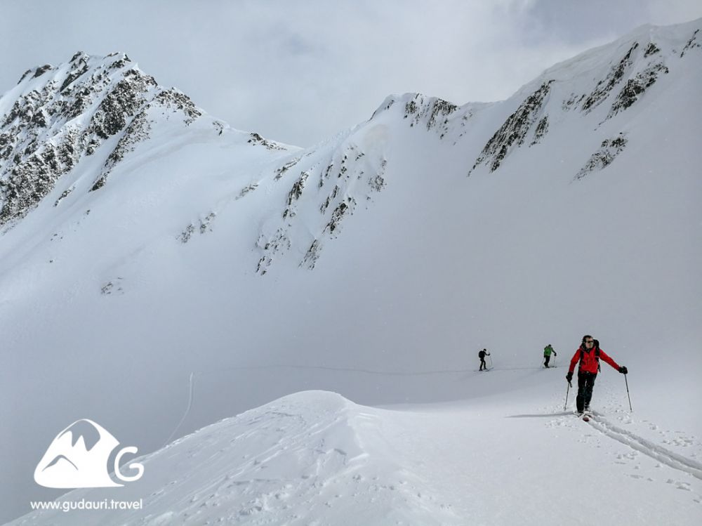
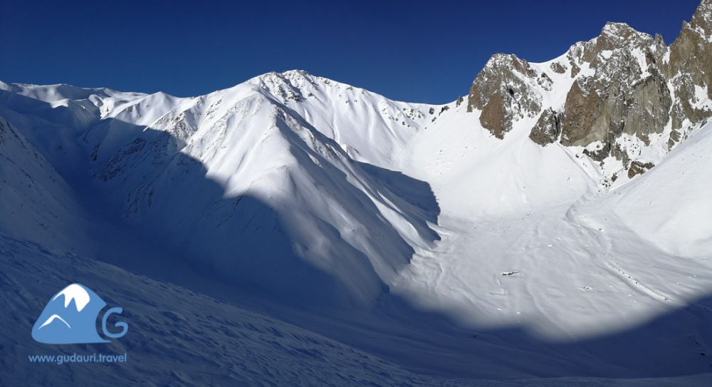
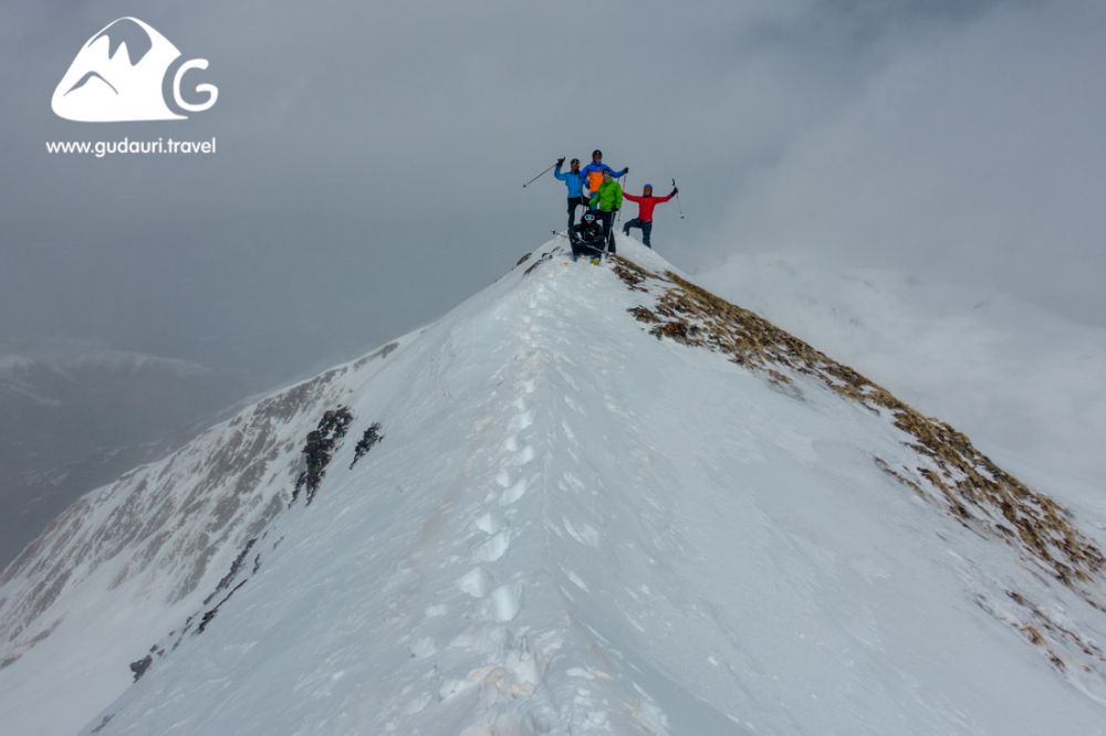
Backcountry skiing in Sioni valley (Tsiteli ridge, Kabarjina Mt.), N (north), 13 km., 06:00 h., ⇡ 03:30 h., ↑ 1057 m., ↓ 1061 m., ▼ 1949 m. - ▲ 2996 m.
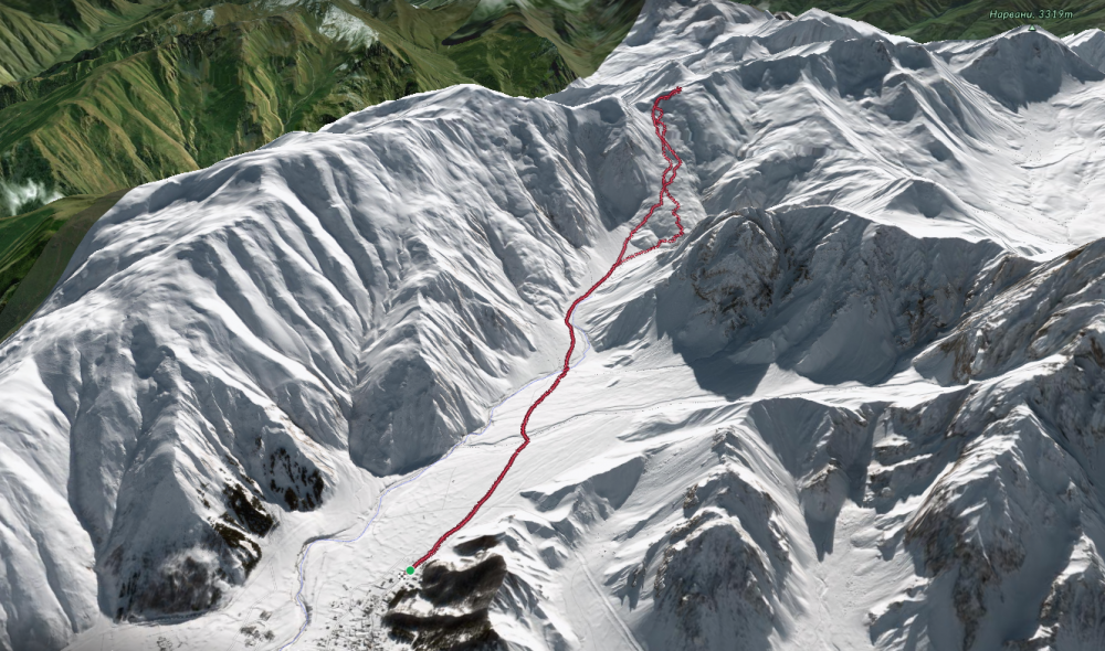

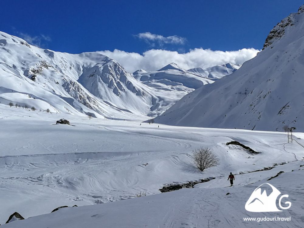

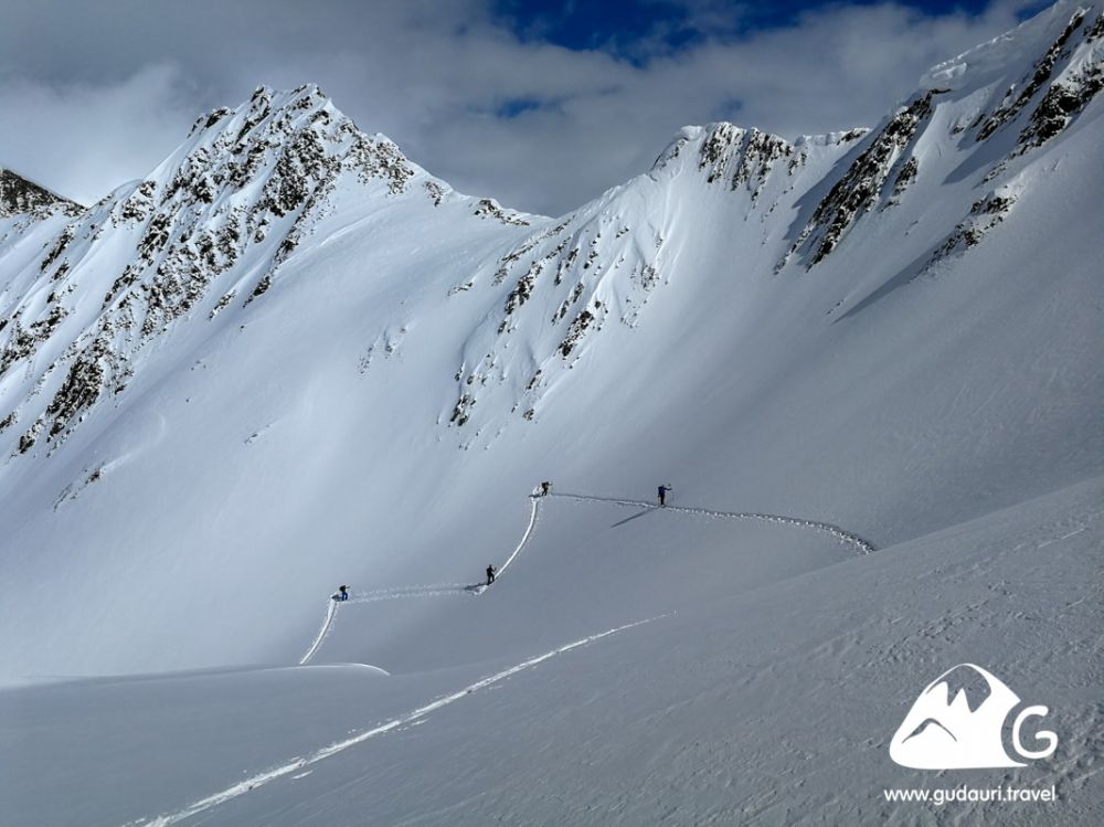


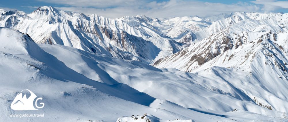


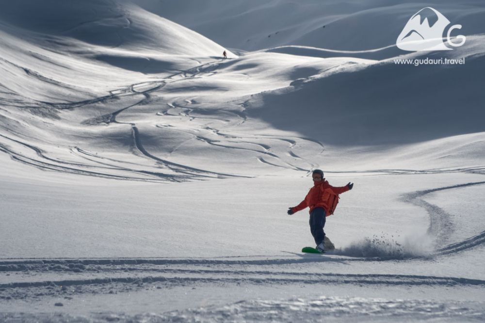
The northern exposure of the Sioni Valley and of the slopes along the route is not lit by the sun during the major part of winter. Traversing the route early in the morning can be colder than expected - bring warm gloves and hot tea with you in this case.
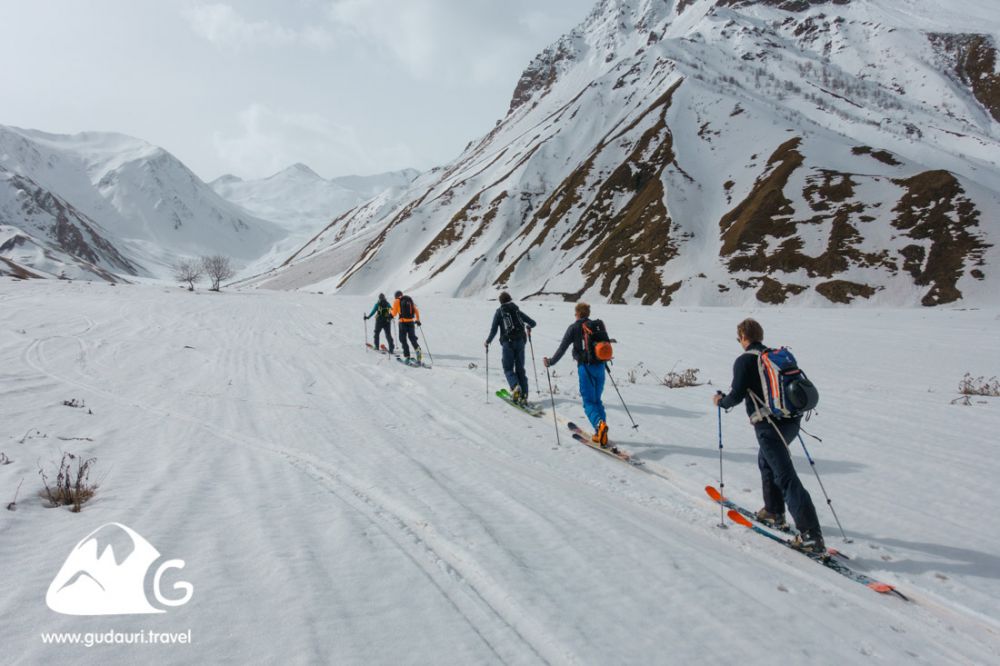
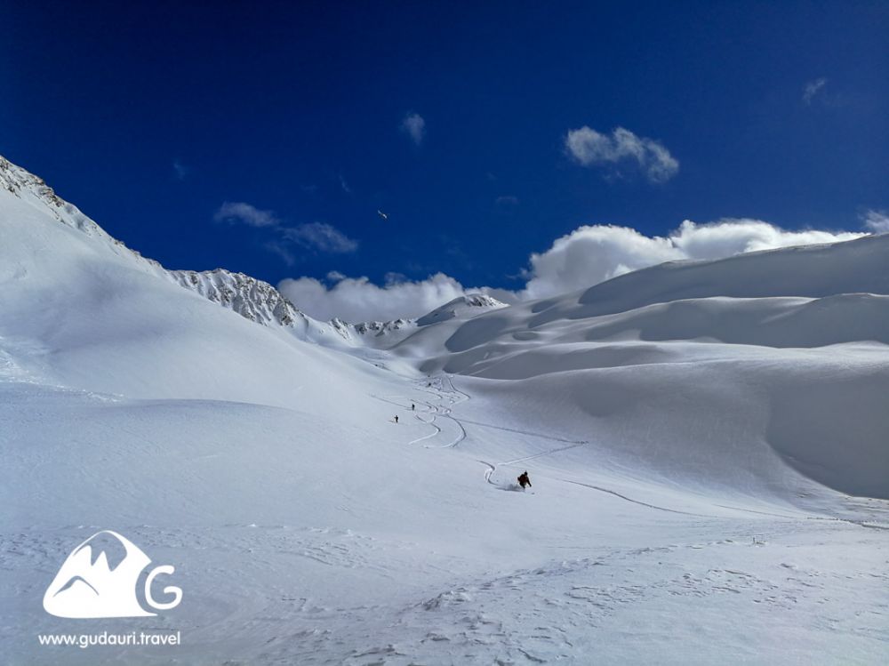
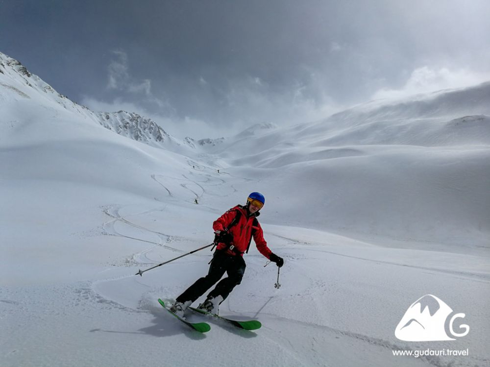
Statistics in this region are positive. There have been no accidents related to avalanches or injuries on the terrain. But, taking into account its remoteness from the Gudauri resort, lack of mobile connection on almost the entire route, as well as the high avalanche danger due to the relief, the absence of accidents is likely to be connected to the fact that the route is not well-known.
Heading off to Sioni, you need to have a clear understanding of the nature of snow layers and the degree of stability of snow cover on slopes with a northern exposure before setting off for the route. If you go on a route without a professional guide, make sure that your companions are ready to ride on potentially dangerous mountain terrain. On the eve of taking the Sioni route, review your avalanche equipment working skills and knowledge of rescue operations. This advice is actually useful before going on any freeride route.
Clarify the level of avalanche danger before setting off for the route! Daily updated information on the level of avalanche danger can be found in the Gudauri Travel Bar (www.gudauri.bar).
You can find information regarding the level of avalanche danger in the region, buy maps of the route, join an organized group, or order a professional mountain guide on this route in the Gudauri Travel Bar (www.gudauri.bar).
Rescue service: +995 790 211 100
Fire service, police, medical assistance: 112
Helicopters: +995 32 2243 503, +995 595 350 900, +995 595 404 606
Copying any fragment of this guidebook is acceptable with active link to the source www.gudauri.travel.
