


You are here
Home »
Directory of Gudauri »
BACKCOUNTRY SKIING IN GUDAURI & Kazbegi »
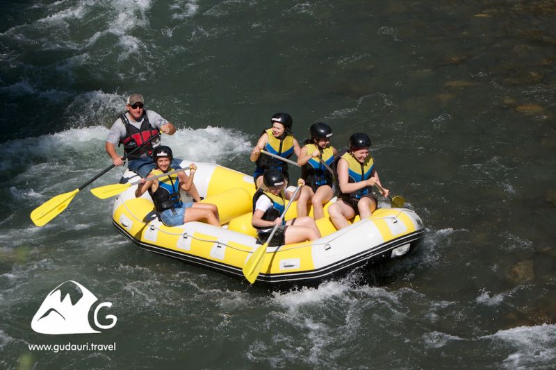
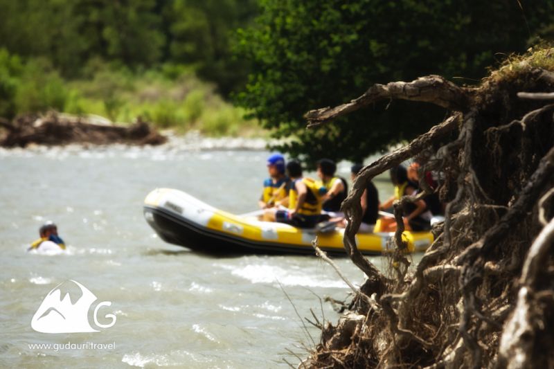
SUMMER | Rafting and kayaking near Gudauri »
Rafting, Kayaking, Pshavi Aragvi, M4
Rafting, Kayaking, Pshavi Aragvi, M4

Contact details
Mamuka
+995 599 141 160
Вид активности
Rafting, Kayaking
River
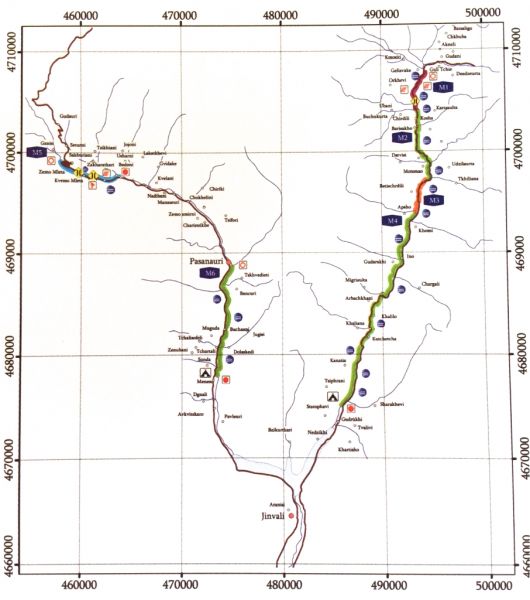
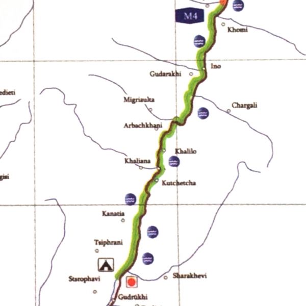
Pshavi Aragvi
Map Section
M4
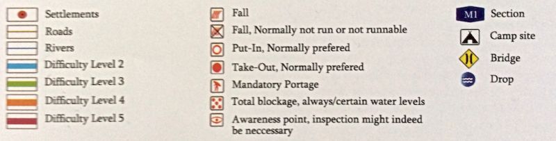
Difficulty Level
April - June: 2.5 - 3
July - August: 2.5
September - October: 2
July - August: 2.5
September - October: 2
Best period
April - October
Duration of the run (Min)
60-80 мин.
Description of the route
There are no huge stones on the way, the category of difficulty is qualified as 2-3, what enables starter and average level kayakers to descend in this section. Best place for camping is the territory near the finish place.
Start Place
Magharo's Kari
GPS сoordinates of the starting point (Latitude / Longitude)
42.42551177 / 44.94364000
Сoordinates of the finish point (Latitude / Longitude)
42.22019412 / 44.83278405
Additional Information
Aragvi river located in eastern Georgia – Kazbegi, Dusheti and Mtskheta municipalities - its length is 112 km, the catchment area is 2724 square km. Aragvi system of rivers made by - Mtiuleti (White) Aragvi, Gudamakari (Black) Aragvi, Khevsureti Aragvi and Pshavi Aragvi. The Main Aragvi starts in north - eastern part of volcanic mountains. Aragvi at upper and middle reaches is the mountain river, the lower section which flows at Mukhrani and Mtskheta plains apart. After it crosses the mountain range Skhaltba and Saguramo. Attached to the left side of the Mtkvari in Mtskheta.
Aragvi fed by groundwater, rain and snow, as well as Glacier and eternal snow water.
Aragvi fed by groundwater, rain and snow, as well as Glacier and eternal snow water.
